An expert team of archaeologists and Haíɫzaqv community members spent weeks sifting more than five cubic
meters of excavated material.
That’s equivalent to examining half of a cement mixing truck of soil, sand, clay, and rocks—all by hand. The
team separated artifacts, animal bones, and other evidence of
human habitation and meticulously recorded the exact sediment layer where each item originated.
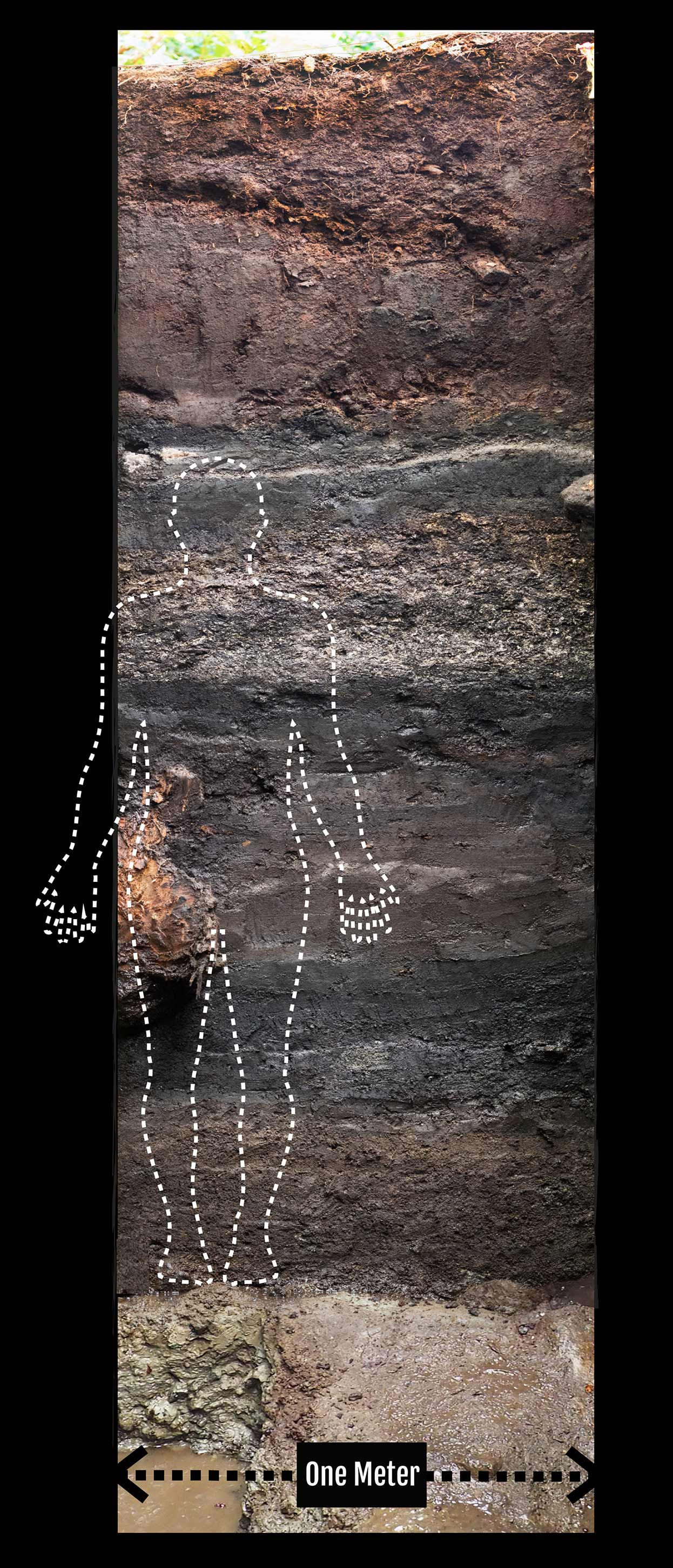
This is called stratigraphy. The word stratigraphy comes from a combination of Latin and
Greek words meaning “description of a layer.” The stratigraphy uncovered at a site is a mix of both natural
and cultural accumulations laid down in layers like a birthday cake with older layers typically lower down.
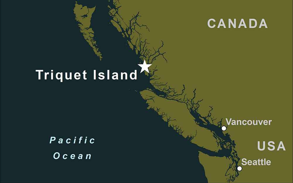
If you could travel back in time 14,000 years, you wouldn’t recognize the shape of British Columbia’s
coastline. Vancouver is under a glacier. A vast dry plain covers what is now underwater in the Hecate Strait
between Haida Gwaii and the mainland. Sea levels rise and fall as glaciers grow and shrink and as tectonic
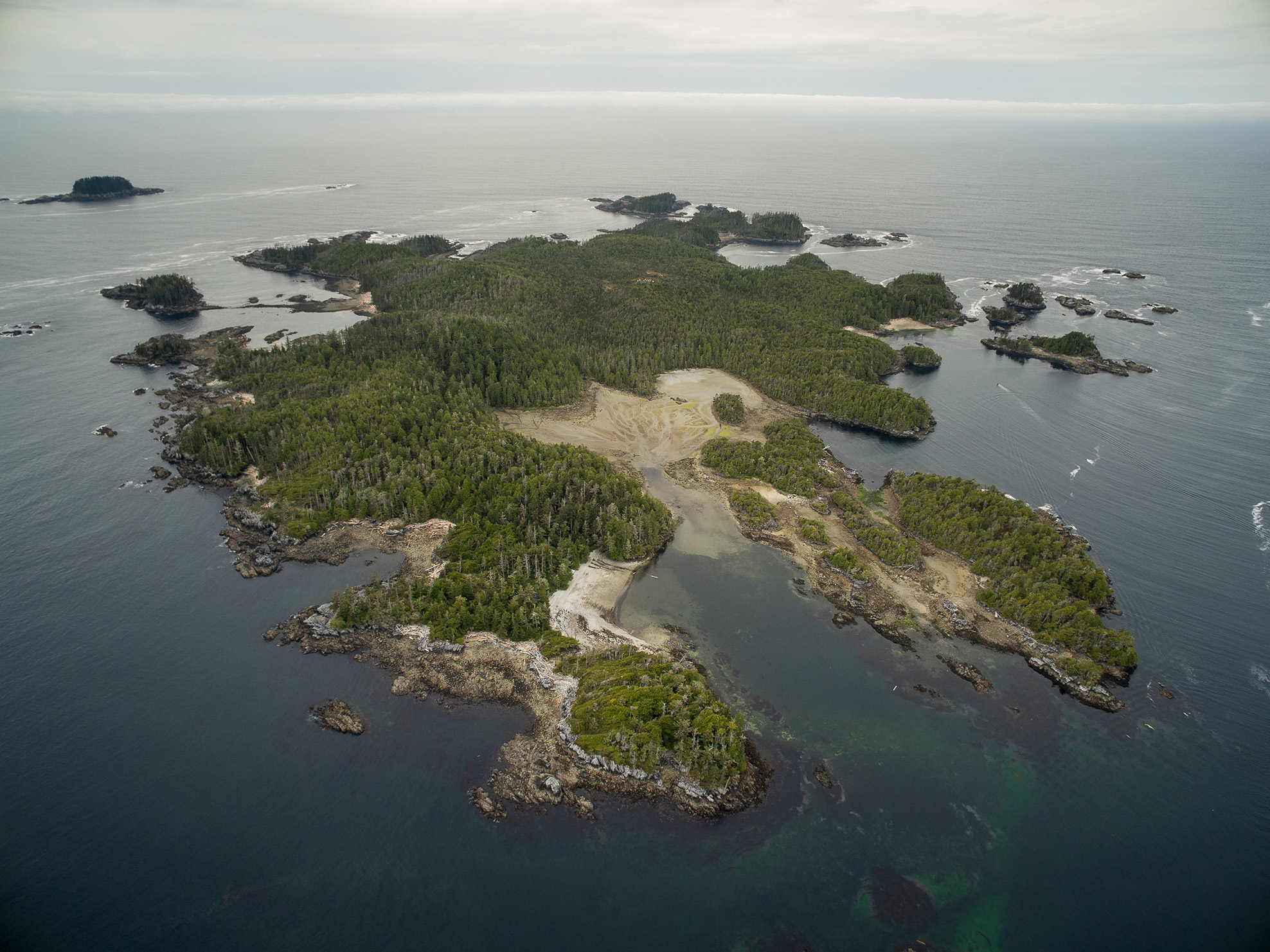
plates shift. The area around Triquet Island is an exception. Through a serendipitous combination of factors,
sea levels in this area stay relatively stable, which creates a unique opportunity for archaeologists.

The Shifting Story of Bones
Deeper, older layers contain mostly bones from sea mammals, such as seals and sea lions. In contrast, the
shallower layers reveal people’s shift toward a fishier diet. In more recent times, herring, salmon, rockfish,
and lingcod played a more prominent role as technologies and culture changed.
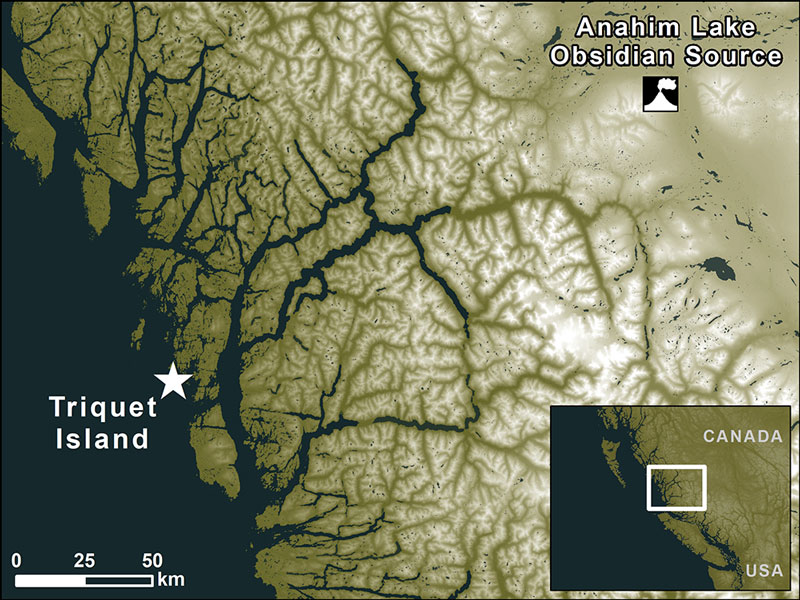
Obsidian, a type of volcanic glass, was a precious material. Obsidian cutting instruments can be sharper than
a surgeon’s blade. But you need a volcano to make obsidian and the closest source to Triquet Island is at
Anahim Peak more than 200 kilometers away. Enter trade. To get obsidian, coastal peoples traded resources that interior peoples could not access, such as the valuable fish oil from a silvery smelt called eulachon.
Listen to William Housty from the Haíɫzaqv Nation describe how the archaeological discoveries from Triquet
Island reaffirm the Haíɫzaqv oral history passed down over generations. Interview by Christie Taylor, as part
of the Science Friday podcast.

The landscape in these early years was tundra-like. Although no artifacts are found below the anvil stone,
smaller test cores reveal layers of older clay. Analysis from Hakai Institute geoscientists shows that Triquet
Island was glacier-free around 16,800 years ago. Even older settlement sites in the region are therefore not
out of the realm of possibility. The archaeology story continues.
- Machu Picchu built 9,000 km to the south—567 years ago *

- Parthenon built 9,600 km to the east—2,455 years ago *

- Pyramids at Giza built 10,700 km to the east—4,577 years ago *

- 5,600 years ago
- 5,650 years ago
- 5,675 years ago
- 5,690 years ago
- 5,700 years ago
- 6,450 years ago
- Volcanic eruption creates Oregon’s Crater Lake—7,694 years ago *

- 8,600 years ago
- Oldest date from site 25 km to the east at Namu—11,000 years ago *

- Human footprints found 20 km southeast on Calvert Island—13,200 years ago *

- 14,000 years ago
Dṇ́y̓ás (Cedar Phase)
(~5,500—400 years ago)
C̓íc̓xvp̓át (Shells Phase)
(~8,000—5,500 years ago)
Gáḷgḷ̓a (Beach Phase)
(~14,000—8,000 years ago)
